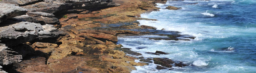
Information Forestry, August 2008—Orbiting the Earth more than 700 kilometres above Canada’s forests, a set of satellite-borne sensors collects data from the light reflecting off the planet’s surface.
Beneath the canopy of an eastern Ontario woodland, a Blackburnian Warbler prepares to fly south for the winter.
Linking these two phenomena is Biodiversity Monitoring from Space, or BioSpace, a Natural Resources Canada-led project that uses satellite-derived data to track key indicators of biological diversity over time.
BioSpace is the first system of its kind in Canada to use Earth observation data to monitor biodiversity over large areas in a systematic and repeatable manner. Its developers hope it will come to serve as an early warning system to alert governments and resource managers to critical habitat losses and areas with potential species at risk in even the most remote, inaccessible regions of the country.
“Most of the current work used to characterize biodiversity in Canada is very detailed and locally specific, and usually involves someone going out into the field and inventorying specific species,” says project leader Mike Wulder, a research scientist with Natural Resources Canada. “With BioSpace, we’re exploring the big picture: can we use Earth observation data from space to characterize national trends in biodiversity and identify locations where changes in certain conditions may indicate changes in biodiversity?”
BioSpace monitors four key indicators of biodiversity on the landscape, at one-kilometre spatial resolution. Topography drives climate. Land cover indicates types of cover (both vegetated and non-vegetated) and their spatial arrangement. The dynamic habitat index incorporates measures of annual vegetation productivity or greenness, amount of snow cover in winter, and seasonal variation in landscape greenness (an indication of when food is available). The fourth indicator is disturbance of land cover over time.
The BioSpace team recently compared indicator-based predictions of biodiversity to field data collected for birds, such as the Blackburnian Warbler, by the Ontario Breeding Bird Survey and on butterflies in the northeastern U.S.
“Land cover and seasonality are the two remotely sensed indicators that explain most variations in species richness for these two groups,” says Nicholas Coops, University of British Columbia Associate Professor of Forest Resources Management, Canada Research Chair in Remote Sensing, and a member of the BioSpace team. “Birds and butterflies like edge environments: they might live in one habitat, breed in another, and feed in a third. If you’re interested in using BioSpace to monitor the status of bird populations, you would focus on these two indices.”
“It’s very expensive to go out and monitor every single species at risk,” says Natural Resources Canada Biodiversity Science Advisor Brenda McAfee. “We don’t have the resources to do that even in the regions that have roads and easy access, let alone in remote regions of the country that have no roads or transportation infrastructure.” BioSpace, she says, would permit her group to report on biodiversity on an ecosystem or landscape level anywhere in Canada. Agreements requiring reports on biodiversity include the Convention on Biological Diversity, the Montreal Protocol’s Criteria and Indicators of Sustainable Forest Management, the Canadian Biodiversity Strategy, and the National Forest Inventory.
In addition, information generated from BioSpace allows researchers and natural resource managers to prioritize field sampling. “BioSpace is not a substitute for field sampling,” says Wulder. “You have to have boots on the ground in order to actually inventory the species and conditions.” BioSpace may facilitate allocation of scarce resources for detailed field studies and species-at-risk conservation.
BioSpace is supported by the Government Related Initiatives Program (GRIP) of the Canadian Space Agency.
“The development of a Canadian dynamic habitat index using multi-temporal satellite estimates of canopy light absorbance” and “Development of a large area biodiversity monitoring system drive by remote sensing” can be ordered from the Canadian Forest Service online bookstore.
Captions:
From the Cover: ist2_3765025-blackburnian-warbler-with-insect: Fragmented forests and woodlands make for important bird and butterfly habitat, according to a recent comparison of indicator-based predictions of biodiversity to field data. credit: © Paul Tessier, istock 2007
© Natural Resources Canada


You must be logged in to leave a reply.