
 A little-known network of shortcuts and passageways knits many of the region’s urban areas together.
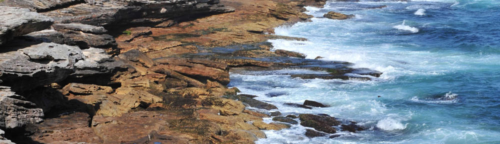
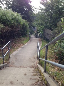
These connecting pathways—they’re too short to be called trails—pass unobtrusively among municipalities’ houses and yards. They stitch residential streets to other residential streets, quiet parks to formal trail systems, seemingly dead-ends to pedestrian-only exits, and neighbourhoods to crescent beaches or rocky shorelines. They wind through neighbourhoods, linking a person’s travels into lines and loops through local urban geography.
Each of the region’s municipalities treats these access points and rights of way differently. Some, like Saanich, glory in their abundance, and chart their locations like chicken scratchings on trail maps. Some municipalities, like Victoria, make the most of the few no-vehicle passageways that century-old urban planning and decades-old development have left them, and have worked them into formal walking and even lazy-day cycling loops. Some municipalities keep quiet about them, leaving local explorers to scrutinize municipal maps for faint lines and other signs that may—may—indicate the little-used laneways amidst the bolder cartographic connections.
Regardless of whether they’re published or not, most of these passages seem to remain neighbourhood secrets, known primarily to those who live alongside them.
In fact, these rights of passage could be seen as rites of passage….
Read the rest of this editorial at the Victoria Times Colonist….


